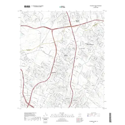
2019 Map of Pflugerville West
USGS Topo · Published 2019About this map
Austin and Pflugerville expand toward one another in this 2019 survey of the suburban corridor along the Williamson and Travis county line. The map highlights the complex residential and commercial infrastructure that has transformed the area, while preserving older markers of the landscape such as Martin Hill and several rural cemeteries including Bratton Cem and McNeil Cem. A intricate network of watercourses, including Walnut Cr, Gilleland Cr, and Rattan Cr, provides a natural framework for the dense suburban development surrounding Wells Branch and Windemere.
Find a feature on this map
36 named features on this map. Tap any name to fly to it.
Don’t see what you’re looking for? This feature index may not catch every label — zoom into the map to look around manually.
Map Details
Editions of this 2019 Pflugerville West Map
This is the sole edition of this map. No revisions or reprints were ever made.
Other maps of this area

1893 · Georgetown
USGS Topo · 1:125,000

1896 · Austin
USGS Topo · 1:125,000

1897 · Austin
USGS Topo · 1:125,000

1910 · Austin
USGS Topo · 1:125,000

1925 · Georgetown 4-d
USGS Topo · 1:48,000

1928 · Round Rock
USGS Topo · 1:62,500

1932 · Mt. Bonnell
USGS Topo · 1:62,500

1949 · Round Rock
USGS Topo · 1:62,500

1951 · Round Rock
USGS Topo · 1:62,500

1954 · Austin East
USGS Topo · 1:24,000