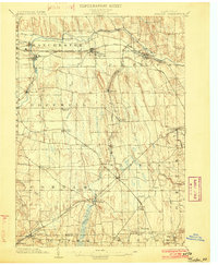
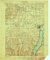
1902 Map of Phelps
USGS Topo · Published 1902About this map
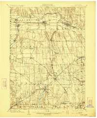
The Canandaigua Outlet carves a prominent path through the northern landscape of this turn-of-the-century map, powering a corridor of industrial and transport development. Rail infrastructure defines the era, with the Lehigh Valley R.R. and Northern Central R.R. intersecting at vital hubs like Stanley and Phelps. This network connected the agricultural hinterlands to bustling villages like Clifton Springs and Shortsville, where the movement of goods and passengers was the lifeblood of the local economy.
Find a feature on this map
59 named features on this map. Tap any name to fly to it.
Don’t see what you’re looking for? This feature index may not catch every label — zoom into the map to look around manually.
Map Details
Editions of this 1902 Phelps Map
7 editions found
Other maps of this area
1899 · Palmyra
USGS Topo · 1:62,500
1900 · Macedon
USGS Topo · 1:62,500
1900 · Naples
USGS Topo · 1:62,500
1900 · Canandaigua
USGS Topo · 1:62,500
1902 · Geneva
USGS Topo · 1:62,500
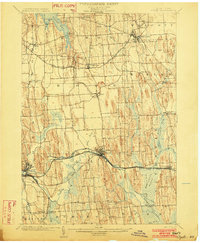
1902 · Clyde
USGS Topo · 1:62,500
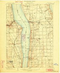
1902 · Ovid
USGS Topo · 1:62,500
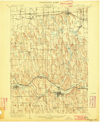
1902 · Palmyra
USGS Topo · 1:62,500
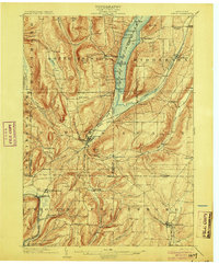
1903 · Naples
USGS Topo · 1:62,500
1903 · Canandaigua
USGS Topo · 1:62,500