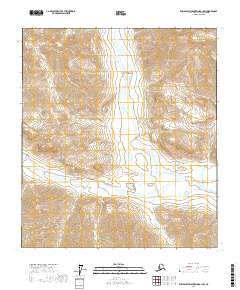
2017 Map of Philip Smith Mountains B-1 SW
USGS Topo · Published 2017About this map
Wind River carves a dominant north-south corridor through this section of the Brooks Range, defining the drainage patterns and valley floor of the North Slope. The landscape is characterized by steep, high-elevation ridges that transition into the broad alluvial plains of the river valley. The absence of named settlements or infrastructure reflects the extreme isolation of this Arctic environment, where the topographic relief is the primary defining feature. Surveyed by the U.S. Geological Survey, the map provides precise data on the natural waterways and mountain passes that have long served as traditional traverse routes for those navigating this remote northern terrain.
Find a feature on this map
8 named features on this map. Tap any name to fly to it.
Don’t see what you’re looking for? This feature index may not catch every label — zoom into the map to look around manually.
Map Details
Editions of this 2017 Philip Smith Mountains B-1 SW Map
This is the sole edition of this map. No revisions or reprints were ever made.
Other maps of this area

1951 · Brooks
USGS Topo · 1:250,000

1956 · Philip Smith Mountains
USGS Topo · 1:250,000

1964 · Philip Smith Mountains
USGS Topo · 1:250,000
1971 · Philip Smith Mountains B-1
USGS Topo · 1:63,360
1971 · Philip Smith Mountains A-2
USGS Topo · 1:63,360
1971 · Philip Smith Mountains A-1
USGS Topo · 1:63,360
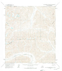
1971 · Philip Smith Mountains B-2
USGS Topo · 1:63,360
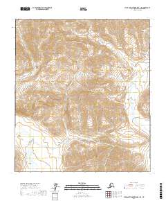
2017 · Philip Smith Mountains B-1 SE
USGS Topo · 1:25,000
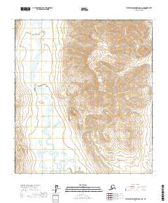
2017 · Philip Smith Mountains A-1 NE
USGS Topo · 1:25,000
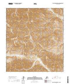
2017 · Philip Smith Mountains A-1 NW
USGS Topo · 1:25,000