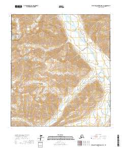
2017 Map of Philip Smith Mountains B-4 SE
USGS Topo · Published 2017About this map
Philip Smith Mountains define the topography of this high-latitude terrain, where the massive ridgelines and drainage patterns of the Brooks Range are documented with modern precision. The eastern edge of the sheet is dominated by the braided corridor of the Sagavanirktok River, a vital Arctic waterway that historically served as a primary travel route through the northern interior. This 2017 survey details the complex hydrography of the river's floodplains and the surrounding high-elevation basins, providing an essential record of the landscape's structure. The map captures the raw intersection of geological features and the vast hydrological network that shapes the North Slope, offering researchers a clear look at the physical geography before any significant human development or permanent infrastructure altered these remote sections of the mountains.
Find a feature on this map
8 named features on this map. Tap any name to fly to it.
Don’t see what you’re looking for? This feature index may not catch every label — zoom into the map to look around manually.
Map Details
Editions of this 2017 Philip Smith Mountains B-4 SE Map
This is the sole edition of this map. No revisions or reprints were ever made.
Other maps of this area

1951 · Brooks
USGS Topo · 1:250,000

1956 · Philip Smith Mountains
USGS Topo · 1:250,000

1964 · Philip Smith Mountains
USGS Topo · 1:250,000
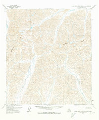
1971 · Philip Smith Mountains A-4
USGS Topo · 1:63,360

1971 · Philip Smith Mountains B-3
USGS Topo · 1:63,360
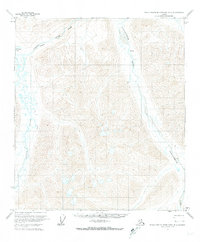
1971 · Philip Smith Mountains B-4
USGS Topo · 1:63,360
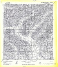
1971 · Philip Smith Mountains A-3
USGS Topo · 1:63,360
2017 · Philip Smith Mountains B-3 SW
USGS Topo · 1:25,000
2017 · Philip Smith Mountains B-4 NE
USGS Topo · 1:25,000
2017 · Philip Smith Mountains A-4 NE
USGS Topo · 1:25,000