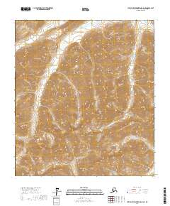
2017 Map of Philip Smith Mountains A-4 NE
USGS Topo · Published 2017About this map
The Philip Smith Mountains dominate this high-latitude terrain within the North Slope Borough, where steep elevation contours reveal a landscape shaped by glacial activity and arctic erosion. This 2017 survey captures the upper reaches of the Sagavanirktok River as it threads through the eastern portion of the sheet. The drainage pattern shown here is characteristic of the Brooks Range foothills, where seasonal meltwater creates a complex network of braided streams and alpine basins. Mapping of this remote sector is defined by the Public Land Survey System boundaries of t14s r13e, t14s r14e, t15s r13e, and t15s r14e. This document serves as a precise modern record of topography and hydrology in a region where human infrastructure is virtually non-existent, focusing instead on the raw physical geography of the Alaskan interior.
Find a feature on this map
6 named features on this map. Tap any name to fly to it.
Don’t see what you’re looking for? This feature index may not catch every label — zoom into the map to look around manually.
Map Details
Editions of this 2017 Philip Smith Mountains A-4 NE Map
This is the sole edition of this map. No revisions or reprints were ever made.
Other maps of this area

1951 · Brooks
USGS Topo · 1:250,000

1956 · Philip Smith Mountains
USGS Topo · 1:250,000

1964 · Philip Smith Mountains
USGS Topo · 1:250,000
1971 · Philip Smith Mountains A-4
USGS Topo · 1:63,360

1971 · Philip Smith Mountains B-3
USGS Topo · 1:63,360
1971 · Philip Smith Mountains B-4
USGS Topo · 1:63,360
1971 · Philip Smith Mountains A-3
USGS Topo · 1:63,360
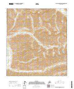
2017 · Philip Smith Mountains B-3 SW
USGS Topo · 1:25,000
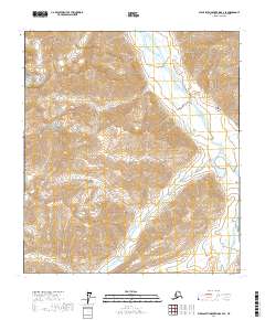
2017 · Philip Smith Mountains B-4 SE
USGS Topo · 1:25,000
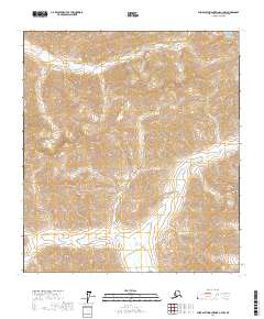
2017 · Philip Smith Mountains A-3 NW
USGS Topo · 1:25,000