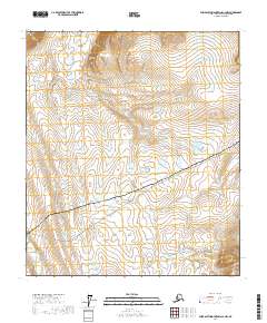
2017 Map of Philip Smith Mountains C-4 NW
USGS Topo · Published 2017About this map
Imnavait Mtn rises in the northwestern corner of this Arctic landscape, overlooking a vast drainage network dominated by the Toolik River and the Kuparuk River. The terrain is defined by the industrial and transport corridor of the Alaska Pipeline and the Dalton Highway, which cut diagonally across the southern half of the map. This infrastructure represents a critical modern artery through the North Slope, facilitating the transit of petroleum from the northern fields. The map provides a detailed view of the complex hydrology of the region, where braided stream patterns and seasonal wetlands dominate the spaces between the high ridge lines and the engineered pipeline corridor.
Find a feature on this map
10 named features on this map. Tap any name to fly to it.
Don’t see what you’re looking for? This feature index may not catch every label — zoom into the map to look around manually.
Map Details
Editions of this 2017 Philip Smith Mountains C-4 NW Map
This is the sole edition of this map. No revisions or reprints were ever made.
Other maps of this area

1951 · Brooks
USGS Topo · 1:250,000

1956 · Philip Smith Mountains
USGS Topo · 1:250,000

1964 · Philip Smith Mountains
USGS Topo · 1:250,000

1971 · Philip Smith Mountains C-4
USGS Topo · 1:63,360
1971 · Philip Smith Mountains D-4
USGS Topo · 1:63,360
1971 · Philip Smith Mountains D-5
USGS Topo · 1:63,360
1971 · Philip Smith Mountains C-5
USGS Topo · 1:63,360
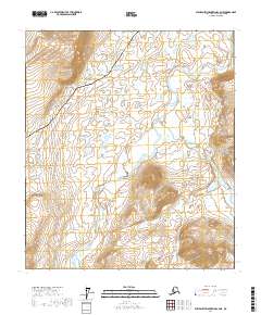
2017 · Philip Smith Mountains C-4 NE
USGS Topo · 1:25,000
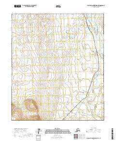
2017 · Philip Smith Mountains D-4 SE
USGS Topo · 1:25,000
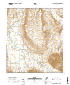
2017 · Philip Smith Mountains C-4 SE
USGS Topo · 1:25,000