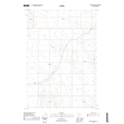
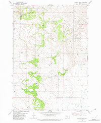
2020 Map of Phillippi Reservoir
USGS Topo · Published 2020About this map
Phillippi Reservoir lies at the heart of this southeastern Montana landscape, serving as a vital water catchment for the drainage basins of N Soda Cr and Soda Cr. This corner of Carter County is defined by a sparse network of prairie waterways, where the terrain gradually rises toward the distinct landforms of the Flattops in the east. The primary artery through this rangeland is Hammond Rd, which cuts diagonally across the township lines, tracing a path between the various creek systems including Boxelder Cr and Park Cr. The southern portion of the survey is marked by the headwaters of Big Groat Creek and Little Groat Cr, illustrating the subtle topographic divides that govern the movement of water across this high-plains environment.
Find a feature on this map
19 named features on this map. Tap any name to fly to it.
Don’t see what you’re looking for? This feature index may not catch every label — zoom into the map to look around manually.
Map Details
Editions of this 2020 Phillippi Reservoir Map
This is the sole edition of this map. No revisions or reprints were ever made.
Other maps of this area

1954 · Ekalaka
USGS Topo · 1:250,000

1956 · Ekalaka
USGS Topo · 1:250,000

1958 · Ekalaka
USGS Topo · 1:250,000

1965 · Ekalaka
USGS Topo · 1:250,000
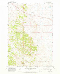
1970 · Hammond
USGS Topo · 1:24,000
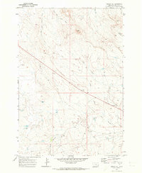
1970 · Greasy Hill
USGS Topo · 1:24,000

1981 · Alzada
USGS Topo · 1:100,000
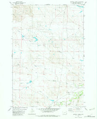
1982 · Whitetail Creek
USGS Topo · 1:24,000

1982 · Phillippi Reservoir
USGS Topo · 1:24,000
1982 · Knudson Draw
USGS Topo · 1:24,000