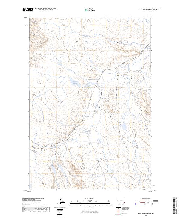
2024 Map of Phillippi Reservoir
USGS Topo · Published 2024About this map
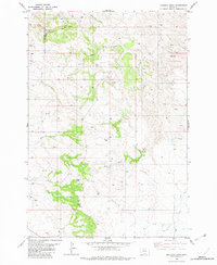
Phillippi Reservoir serves as a central landmark in this remote corner of Carter County, where a complex network of seasonal drainages defines the high plains landscape. The area is dominated by the winding course of Hammond Rd, which serves as the primary artery through the townships. The terrain transitions from the elevated Flattops down into numerous creek beds, including Boxelder Creek and Soda Creek, which represent the vital water sources in this arid ranching country.
Find a feature on this map
19 named features on this map. Tap any name to fly to it.
Don’t see what you’re looking for? This feature index may not catch every label — zoom into the map to look around manually.
Map Details
Editions of this 2024 Phillippi Reservoir Map
This is the sole edition of this map. No revisions or reprints were ever made.
Other maps of this area

1954 · Ekalaka
USGS Topo · 1:250,000

1956 · Ekalaka
USGS Topo · 1:250,000

1958 · Ekalaka
USGS Topo · 1:250,000

1965 · Ekalaka
USGS Topo · 1:250,000
1970 · Hammond
USGS Topo · 1:24,000
1970 · Greasy Hill
USGS Topo · 1:24,000

1981 · Alzada
USGS Topo · 1:100,000
1982 · Whitetail Creek
USGS Topo · 1:24,000

1982 · Phillippi Reservoir
USGS Topo · 1:24,000
1982 · Knudson Draw
USGS Topo · 1:24,000