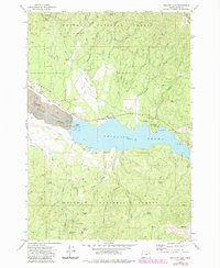
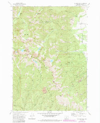
1972 Map of Phillips Lake
USGS Topo · Published 1985About this map
The Sumpter Valley landscape in this 1970s record is dominated by the massive industrial scarring of Dredge Tailings along the Powder River. These extensive mounds of gravel reflect the legacy of gold dredging that reshaped the valley floor long before the creation of Phillips Lake. The small settlement of McEwen sits at the western edge of the reservoir, adjacent to a small Cem and an intricate network of irrigation channels including the Farmers Ditch and Mc Ewen Valley Ditch.
Find a feature on this map
46 named features on this map. Tap any name to fly to it.
Don’t see what you’re looking for? This feature index may not catch every label — zoom into the map to look around manually.
Map Details
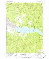
Editions of this 1972 Phillips Lake Map
2 editions found
Other maps of this area

1901 · Baker City
USGS Topo · 1:125,000

1901 · Sumpter
USGS Topo · 1:125,000

1955 · Baker
USGS Topo · 1:250,000

1955 · Canyon City
USGS Topo · 1:250,000

1959 · Baker
USGS Topo · 1:250,000

1959 · Canyon City
USGS Topo · 1:250,000

1967 · Blue Canyon
USGS Topo · 1:24,000
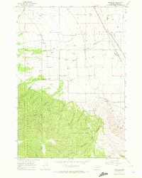
1967 · Wingville
USGS Topo · 1:24,000
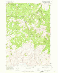
1967 · Brannan Gulch
USGS Topo · 1:24,000
1972 · Elkhorn Peak
USGS Topo · 1:24,000