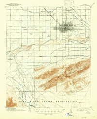
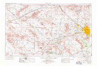
1952 Map of Phoenix
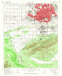
USGS Topo · Published 1968About this map
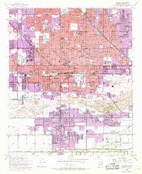
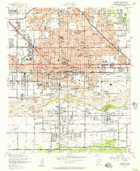
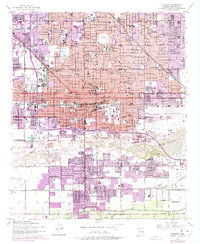
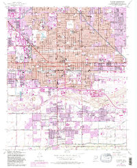
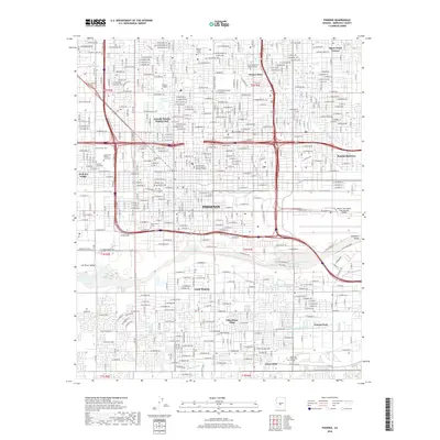
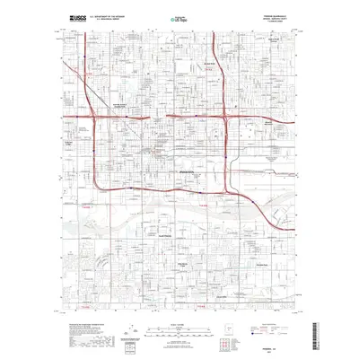
Phoenix expansion is documented here through distinctive purple overprints that trace the city's growth in the mid-1960s over the original 1952 survey. The urban core is anchored by the Capitol Bldg and City Hall, while a dense network of educational institutions like West Phoenix High Sch and Phoenix Jr College speak to the postwar population boom. This era shows a landscape transitioning from the agricultural roots suggested by the Grand Canal and Western Canal to an increasingly industrial and civic hub.
Find a feature on this map
104 named features on this map. Tap any name to fly to it.
Don’t see what you’re looking for? This feature index may not catch every label — zoom into the map to look around manually.
Map Details
Editions of this 1952 Phoenix Map
5 editions found
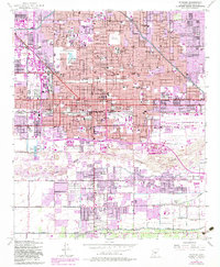
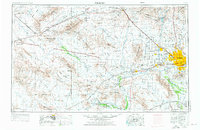
Historical Maps of Phoenix Through Time
16 maps found

1912 Phoenix
Maricopa County, AZ
1914 Phoenix
Maricopa County, AZ
1952 Phoenix
Maricopa County, AZ
1952 Phoenix
Maricopa County, AZ
1954 Phoenix
Maricopa County, AZ

1957 Phoenix
Maricopa County, AZ

1958 Phoenix
Maricopa County, AZ

1960 Phoenix
Maricopa County, AZ
1969 Phoenix
Maricopa County, AZ

1971 Phoenix
Maricopa County, AZ
1971 Phoenix
Maricopa County, AZ
2011 Phoenix
Maricopa County, AZ
2014 Phoenix
Maricopa County, AZ
2018 Phoenix
Maricopa County, AZ
2021 Phoenix
Maricopa County, AZ
2023 Phoenix
Maricopa County, AZ