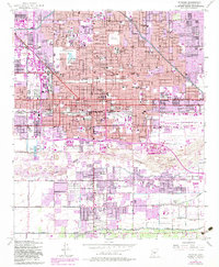
1952 Map of Phoenix
USGS Topo · Published 1983About this map
Phoenix expands across the Salt River Valley in this mid-century document, revealing a city transitioning from its territorial roots to a major regional hub. The urban core is anchored by the Capitol Bldg, while a dense network of neighborhood institutions like Kenilworth School and Carver High Sch serve the growing population. To the east, the Phoenix Sky Harbor International Airport reflects the era's increasing reliance on aviation.
Find a feature on this map
104 named features on this map. Tap any name to fly to it.
Don’t see what you’re looking for? This feature index may not catch every label — zoom into the map to look around manually.
Map Details
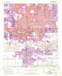
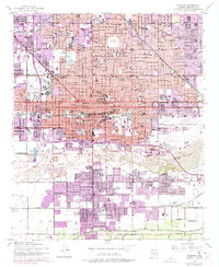
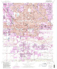
Editions of this 1952 Phoenix Map
5 editions found

Other maps of this area

1904 · Camelback
USGS Topo · 1:62,500

1906 · Camelsback
USGS Topo · 1:62,500

1912 · Phoenix
USGS Topo · 1:62,500

1913 · Mesa
USGS Topo · 1:62,500

1914 · Phoenix
USGS Topo · 1:62,500

1915 · Mesa
USGS Topo · 1:62,500

1930 · Cave Creek
USGS Topo · 1:125,000

1939 · Cave Creek
USGS Topo · 1:125,000

1952 · Tempe
USGS Topo · 1:24,000

1952 · Lone Butte
USGS Topo · 1:24,000