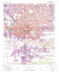
1952 Map of Phoenix
USGS Topo · Published 1975About this map
The central urban core of Phoenix expands rapidly in the mid-20th century, reaching north toward Indian School Road and south toward the Salt River. The landscape is a dense grid of residential growth interspersed with civic institutions like the Heard Museum and Phoenix Jr College. A high concentration of burial grounds, including Greenwood Cem and Rosedale Cem, marks the western edge of the downtown district.
Find a feature on this map
89 named features on this map. Tap any name to fly to it.
Don’t see what you’re looking for? This feature index may not catch every label — zoom into the map to look around manually.
Map Details
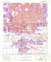
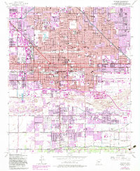
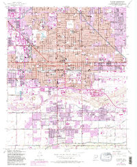
Editions of this 1952 Phoenix Map
5 editions found

Other maps of this area

1904 · Camelback
USGS Topo · 1:62,500

1906 · Camelsback
USGS Topo · 1:62,500

1912 · Phoenix
USGS Topo · 1:62,500

1913 · Mesa
USGS Topo · 1:62,500

1914 · Phoenix
USGS Topo · 1:62,500

1915 · Mesa
USGS Topo · 1:62,500

1930 · Cave Creek
USGS Topo · 1:125,000

1939 · Cave Creek
USGS Topo · 1:125,000

1952 · Tempe
USGS Topo · 1:24,000

1952 · Lone Butte
USGS Topo · 1:24,000