
1954 Map of Phoenix
USGS Topo · Published 1964About this map
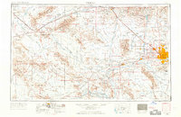
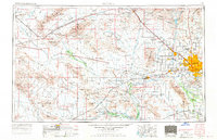
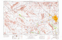
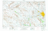
Phoenix sits at the eastern edge of a vast arid landscape where the Gila River meets the Salt River and Agua Fria River. This mid-century survey illustrates the growth of the Valley of the Sun, with satellite communities like Glendale, Peoria, and Avondale established along the rail lines of the Atchison Topeka & Santa Fe Ry and Southern Pacific RR. Outside the emerging metropolitan area, the map details a rugged interior dominated by the Harquahala Mountains and the Tonopah Desert.
Find a feature on this map
92 named features on this map. Tap any name to fly to it.
Don’t see what you’re looking for? This feature index may not catch every label — zoom into the map to look around manually.
Map Details
Editions of this 1954 Phoenix Map
5 editions found
Other maps of this area

1887 · Verde
USGS Topo · 1:250,000

1887 · Prescott
USGS Topo · 1:250,000

1892 · Verde
USGS Topo · 1:250,000

1892 · Prescott
USGS Topo · 1:250,000

1903 · Bradshaw Mountains
USGS Topo · 1:125,000

1903 · Congress
USGS Topo · 1:125,000

1904 · Camelback
USGS Topo · 1:62,500

1904 · Congress
USGS Topo · 1:125,000

1906 · Camelsback
USGS Topo · 1:62,500

1911 · Parker
USGS Topo · 1:125,000