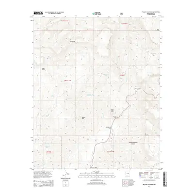
2014 Map of Picacho Colorado
USGS Topo · Published 2014About this map
Picacho Colorado and the surrounding wilderness of the Tonto National Forest are defined by dramatic elevation changes and a complex hydrological network. The terrain is anchored by prominent landmarks such as Mustang Ridge in the north and the volcanic-profile of Medicine Butte farther south. Water management for cattle and wildlife is a central feature of the landscape, evidenced by the numerous catchments and tanks like Medicine Butte Tank Number Two, Quail Tank, and Corral Tank scattered across the township lines.
Find a feature on this map
37 named features on this map. Tap any name to fly to it.
Don’t see what you’re looking for? This feature index may not catch every label — zoom into the map to look around manually.
Map Details
Editions of this 2014 Picacho Colorado Map
This is the sole edition of this map. No revisions or reprints were ever made.
Other maps of this area
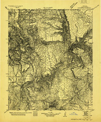
1922 · Chrysotile
USGS Topo · 1:125,000
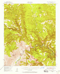
1946 · Blue House Mtn
USGS Topo · 1:62,500
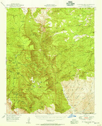
1949 · McFadden Peak
USGS Topo · 1:62,500
1949 · Rockinstraw Mtn
USGS Topo · 1:62,500
1950 · Rockinstraw Mtn
USGS Topo · 1:62,500
1950 · McFadden Peak
USGS Topo · 1:62,500
1951 · Blue House Mtn
USGS Topo · 1:62,500
1954 · Mesa
USGS Topo · 1:250,000
1957 · Mesa
USGS Topo · 1:250,000
1958 · Mesa
USGS Topo · 1:250,000