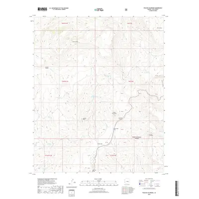
2018 Map of Picacho Colorado
USGS Topo · Published 2018About this map
Picacho Colorado and the dramatic geological formations of the Tonto National Forest dominate this Arizona landscape. The confluence of Canyon Cr and the Salt River creates a deeply incised topography, including the striking Salt River Canyon and the expansive Gleason Flat. This region is defined by its water management features and cattle-country infrastructure, evidenced by the numerous named stock tanks such as Medicine Butte Tank Number Two, Quail Tank, and Cypress Pasture Tank. These features suggest a landscape managed for grazing amidst significant elevation changes.
Find a feature on this map
35 named features on this map. Tap any name to fly to it.
Don’t see what you’re looking for? This feature index may not catch every label — zoom into the map to look around manually.
Map Details
Editions of this 2018 Picacho Colorado Map
This is the sole edition of this map. No revisions or reprints were ever made.
Other maps of this area
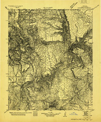
1922 · Chrysotile
USGS Topo · 1:125,000
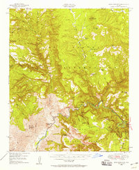
1946 · Blue House Mtn
USGS Topo · 1:62,500
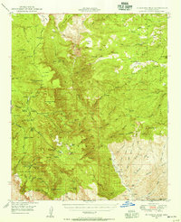
1949 · McFadden Peak
USGS Topo · 1:62,500
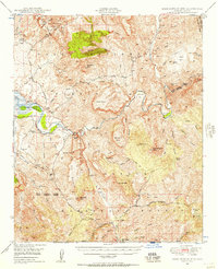
1949 · Rockinstraw Mtn
USGS Topo · 1:62,500
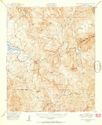
1950 · Rockinstraw Mtn
USGS Topo · 1:62,500
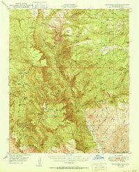
1950 · McFadden Peak
USGS Topo · 1:62,500
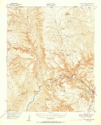
1951 · Blue House Mtn
USGS Topo · 1:62,500
1954 · Mesa
USGS Topo · 1:250,000
1957 · Mesa
USGS Topo · 1:250,000
1958 · Mesa
USGS Topo · 1:250,000