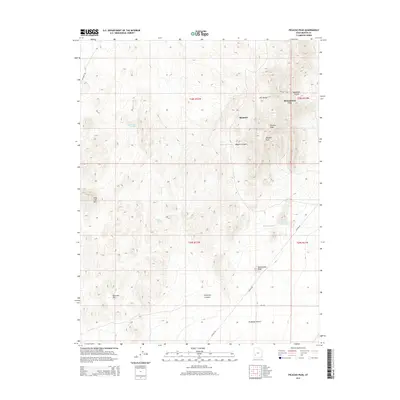
2014 Map of Picacho Peak
USGS Topo · Published 2014About this map
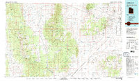
The Star Range dominates this landscape, where the arid terrain of the Escalante Desert meets the high elevations of Picacho Peak and Topache Peak. This 2014 survey documents the isolated settlements of Shauntie and Shenandoah City, which are connected by a network of drainage systems and canyons including Mammoth Canyon and Elephant Cyn. The distribution of water sources is critical in this environment, as evidenced by the marking of Woodhouse Spring, Wheeler Spring, and the Moscow Reservoir near the base of the Shauntie Hills. These features suggest a history of resource-driven settlement where topographical features like Long Lick Mtn and Twelvemile Knoll served as essential landmarks for navigating the high desert of Beaver County. The presence of Pioche RD and Laho RD indicates the established transport corridors that facilitate movement across the challenging basin and range geography.
Find a feature on this map
25 named features on this map. Tap any name to fly to it.
Don’t see what you’re looking for? This feature index may not catch every label — zoom into the map to look around manually.
Map Details
Editions of this 2014 Picacho Peak Map
This is the sole edition of this map. No revisions or reprints were ever made.
Other maps of this area
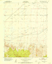
1953 · Ninemile Knoll
USGS Topo · 1:24,000
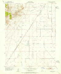
1953 · Milford Flat
USGS Topo · 1:24,000

1953 · Richfield
USGS Topo · 1:250,000

1958 · Richfield
USGS Topo · 1:250,000
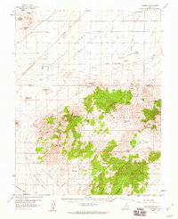
1958 · Thermo
USGS Topo · 1:62,500
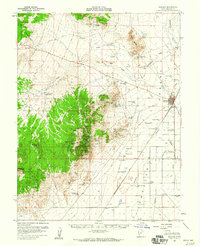
1958 · Milford
USGS Topo · 1:62,500
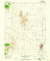
1958 · Milford
USGS Topo · 1:24,000
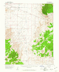
1959 · Frisco
USGS Topo · 1:62,500
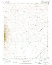
1971 · Burns Knoll
USGS Topo · 1:24,000
1980 · Wah Wah Mts. South
USGS Topo · 1:100,000