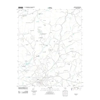
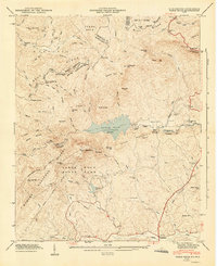
2011 Map of Pickens
USGS Topo · Published 2011About this map
Pickens serves as the primary hub of this landscape, situated south of a transition from the rising foothills of Glassy Mountain and Brown Mountain toward the Piedmont plains. The area is marked by a complex water management system featuring numerous named reservoirs and dams, such as Twelve Mile River Watershed Six Reservoir and Finleys Lake, alongside the Oolenoy River and Twelvemile Creek systems. These engineering projects reflect the mid-20th-century development of local water resources and watershed control, with dams dating back to the late 1940s and 1950s.
Find a feature on this map
184 named features on this map. Tap any name to fly to it.
Don’t see what you’re looking for? This feature index may not catch every label — zoom into the map to look around manually.
Map Details
Editions of this 2011 Pickens Map
This is the sole edition of this map. No revisions or reprints were ever made.
Other maps of this area

1888 · Pickens
USGS Topo · 1:125,000

1894 · Pickens
USGS Topo · 1:125,000

1905 · Pisgah
USGS Topo · 1:125,000

1906 · Pisgah
USGS Topo · 1:125,000

1935 · Eastatoe Gap
USGS Topo · 1:24,000

1935 · Table Rock
USGS Topo · 1:24,000
1946 · Eastatoe Gap
USGS Topo · 1:24,000
1946 · Table Rock
USGS Topo · 1:24,000
1947 · Eastatoe Gap
USGS Topo · 1:24,000
1947 · Table Rock
USGS Topo · 1:24,000