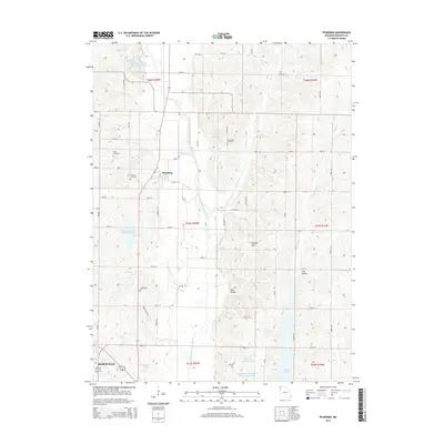
2014 Map of Pickering
USGS Topo · Published 2014About this map
The town of Pickering sits at the heart of this Nodaway County landscape, where the meandering course of the One Hundred and Two River defines the drainage pattern of the Missouri prairie. To the south, the northern edge of Maryville appears, showing the expansion of the county seat toward the numerous reservoirs that dot the region. The map reveals a highly managed water system, including Nodaway Number 4 Lake, Hayden Lake, and Parman Lake, often integrated into the local watershed management.
Find a feature on this map
59 named features on this map. Tap any name to fly to it.
Don’t see what you’re looking for? This feature index may not catch every label — zoom into the map to look around manually.
Map Details
Editions of this 2014 Pickering Map
This is the sole edition of this map. No revisions or reprints were ever made.
Other maps of this area

1940 · Bedford
USGS Topo · 1:62,500

1940 · New Market
USGS Topo · 1:62,500

1940 · Parnell
USGS Topo · 1:62,500

1943 · Bedford
USGS Topo · 1:62,500

1943 · Parnell
USGS Topo · 1:62,500

1943 · Maryville
USGS Topo · 1:62,500

1943 · New Market
USGS Topo · 1:62,500

1955 · Nebraska City
USGS Topo · 1:250,000

1957 · Nebraska City
USGS Topo · 1:250,000

1958 · Nebraska City
USGS Topo · 1:250,000