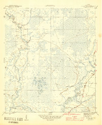
1945 Map of Pickett Bay
USGS Topo · Published 1945About this map
The low-lying wetlands of Tates Hell Swamp dominate this mid-1940s landscape, revealing an intricate network of waterways and early infrastructure in Franklin County. A prominent feature of the era is Harbeson City, identified here as a site already reclaimed by the surrounding environment along the banks of the Crooked River. This settlement's decline is contrasted by the active logging and transport routes of the time, such as Roberts Road which cuts across the dense marshland toward the coastal regions.
Find a feature on this map
23 named features on this map. Tap any name to fly to it.
Don’t see what you’re looking for? This feature index may not catch every label — zoom into the map to look around manually.
Map Details
Editions of this 1945 Pickett Bay Map
4 editions found
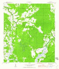
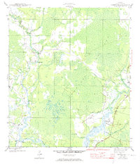
Other maps of this area

1943 · Dog Island
USGS Topo · 1:31,680

1943 · Carrabelle
USGS Topo · 1:24,000

1944 · Pickett Bay
USGS Topo · 1:31,680

1944 · Carrabelle
USGS Topo · 1:31,680

1944 · Green Point
USGS Topo · 1:31,680

1945 · Thousand Yard Bay
USGS Topo · 1:31,680

1945 · Tates Hell Swamp
USGS Topo · 1:31,680

1945 · Mc Intyre
USGS Topo · 1:31,680

1945 · Pickett Bay
USGS Topo · 1:31,680

1945 · Sanborn
USGS Topo · 1:31,680