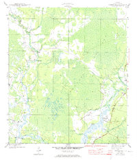
1945 Map of Pickett Bay
USGS Topo · Published 1973About this map
Harbeson City stands as a primary point of interest on the eastern edge of James Island, appearing here as an abandoned settlement along the banks of the New River. This 1940s landscape is defined by an intricate network of wetlands and watercourses, dominated by the expansive Thousand Yard Bay and Pickett Bay. The hydrology of the region is highly detailed, showing natural features like Sunday Rollaway, Thompson Cutoff, and the winding path of Juniper Creek.
Find a feature on this map
22 named features on this map. Tap any name to fly to it.
Don’t see what you’re looking for? This feature index may not catch every label — zoom into the map to look around manually.
Map Details
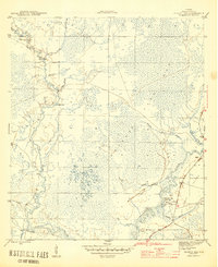
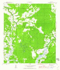
Editions of this 1945 Pickett Bay Map
4 editions found
Other maps of this area

1943 · Dog Island
USGS Topo · 1:31,680

1943 · Carrabelle
USGS Topo · 1:24,000

1944 · Pickett Bay
USGS Topo · 1:31,680

1944 · Carrabelle
USGS Topo · 1:31,680

1944 · Green Point
USGS Topo · 1:31,680

1945 · Thousand Yard Bay
USGS Topo · 1:31,680

1945 · Tates Hell Swamp
USGS Topo · 1:31,680

1945 · Mc Intyre
USGS Topo · 1:31,680

1945 · Pickett Bay
USGS Topo · 1:31,680

1945 · Sanborn
USGS Topo · 1:31,680