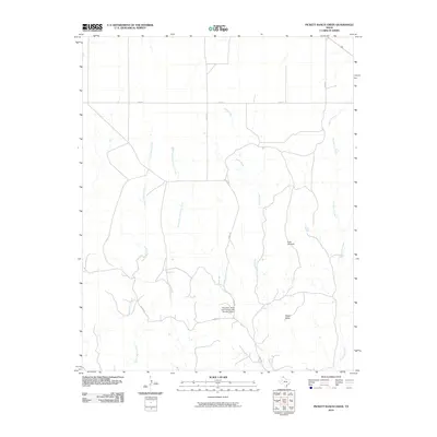
2010 Map of Pickett Ranch Creek
USGS Topo · Published 2010About this map
Pickett Ranch Creek flows through this corner of the Texas Panhandle, defining a landscape of wide-open cattle country and intermittent drainage. The topography is dominated by several winding watercourses, including Point Creek and the Northwest Fork Point Creek, which converge as they move through the plains. A significant local landmark, the Morrison, Scott and Conrad Lake Number 2 Dam, serves as a key piece of water management infrastructure in this arid environment. The presence of the Point Windmill and numerous section-line roads like Co RD 23 and FM 281 illustrate the region's enduring ranching heritage. Rising above the creek beds, Tandy Mesa provides a distinct elevation change in an otherwise steadily sloping terrain, while Hackberry Creek and Gibson Creek drain the eastern portion of the quadrangle.
Find a feature on this map
13 named features on this map. Tap any name to fly to it.
Don’t see what you’re looking for? This feature index may not catch every label — zoom into the map to look around manually.
Map Details
Editions of this 2010 Pickett Ranch Creek Map
This is the sole edition of this map. No revisions or reprints were ever made.
Other maps of this area

1954 · Perryton
USGS Topo · 1:250,000

1954 · Amarillo
USGS Topo · 1:250,000

1958 · Perryton
USGS Topo · 1:250,000

1958 · Amarillo
USGS Topo · 1:250,000

1971 · Dry Creek NE
USGS Topo · 1:24,000

1972 · Horse Creek North
USGS Topo · 1:24,000

1972 · East Dry Creek
USGS Topo · 1:24,000

1973 · Sourdough Creek NE
USGS Topo · 1:24,000

1973 · Pickett Ranch Creek
USGS Topo · 1:24,000

1973 · Lake Fryer
USGS Topo · 1:24,000