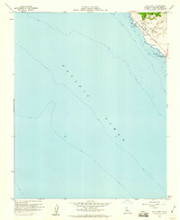
1959 Map of Pico Creek
USGS Topo · Published 1960About this map
The central California coastline near San Simeon is defined by a narrow shelf of land between the Santa Lucia Range and the Pacific Ocean. This late 1950s survey captures a localized network of residential streets including Pico Ave, Avonne Ave, and Balboa Ave situated just west of the Cabrillo Highway. These developments sit adjacent to the historic Piedra Blanca Grant boundary, reflecting the transition from large rancho holdings to mid-century coastal settlement. The coastline itself is marked by distinctive features such as Pico Rock and the northern reaches of San Simeon Beach State Park. Topographic details reveal several water sources, including Arroyo del Padre Juan and various unnamed Springs, which likely influenced the placement of early habitations like The Oaks.
Find a feature on this map
16 named features on this map. Tap any name to fly to it.
Don’t see what you’re looking for? This feature index may not catch every label — zoom into the map to look around manually.
Map Details
Editions of this 1959 Pico Creek Map
4 editions found
Other maps of this area

1919 · Piedras Blancas
USGS Topo · 1:62,500

1919 · San Simeon
USGS Topo · 1:62,500

1927 · Piedras Blancas
USGS Topo · 1:62,500

1937 · San Simeon
USGS Topo · 1:62,500

1947 · San Luis Obispo
USGS Topo · 1:250,000

1948 · San Luis Obispo
USGS Topo · 1:250,000
1956 · San Luis Obispo
USGS Topo · 1:250,000
1957 · San Luis Obispo
USGS Topo · 1:250,000
1958 · San Luis Obispo
USGS Topo · 1:250,000
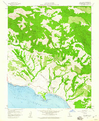
1958 · San Simeon
USGS Topo · 1:24,000