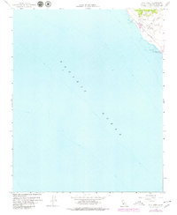
1959 Map of Pico Creek
USGS Topo · Published 1979About this map
San Simeon Beach State Park and the central coast of San Luis Obispo County are captured here in a 1950s survey with late-1970s updates. The map focuses on a narrow but significant strip of coastline where the Santa Lucia Range meets the Pacific Ocean. Most of the activity is concentrated along the Cabrillo Highway, featuring the residential cluster of The Oaks and nearby streets like Avonne Ave.
Find a feature on this map
16 named features on this map. Tap any name to fly to it.
Don’t see what you’re looking for? This feature index may not catch every label — zoom into the map to look around manually.
Map Details
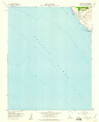
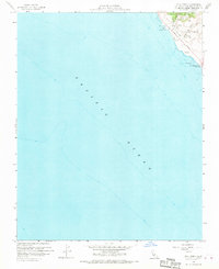
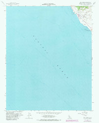
Editions of this 1959 Pico Creek Map
4 editions found
Other maps of this area

1919 · Piedras Blancas
USGS Topo · 1:62,500

1919 · San Simeon
USGS Topo · 1:62,500

1927 · Piedras Blancas
USGS Topo · 1:62,500

1937 · San Simeon
USGS Topo · 1:62,500

1947 · San Luis Obispo
USGS Topo · 1:250,000

1948 · San Luis Obispo
USGS Topo · 1:250,000
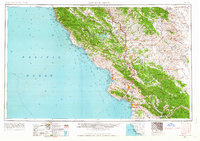
1956 · San Luis Obispo
USGS Topo · 1:250,000
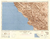
1957 · San Luis Obispo
USGS Topo · 1:250,000
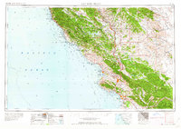
1958 · San Luis Obispo
USGS Topo · 1:250,000
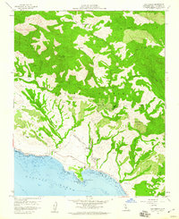
1958 · San Simeon
USGS Topo · 1:24,000