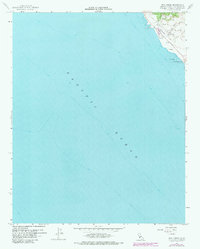
1959 Map of Pico Creek
USGS Topo · Published 1983About this map
San Simeon and the central California coastline are captured here during a period of mid-century coastal development, featuring the intersection of land and sea along the Cabrillo Highway. This survey provides a record of the landscape before significant modern expansion, highlighting the early residential layout of The Oaks and the street grid including Balboa Ave and Avonne Ave.
Find a feature on this map
17 named features on this map. Tap any name to fly to it.
Don’t see what you’re looking for? This feature index may not catch every label — zoom into the map to look around manually.
Map Details
Editions of this 1959 Pico Creek Map
4 editions found
Other maps of this area

1919 · Piedras Blancas
USGS Topo · 1:62,500

1919 · San Simeon
USGS Topo · 1:62,500

1927 · Piedras Blancas
USGS Topo · 1:62,500

1937 · San Simeon
USGS Topo · 1:62,500

1947 · San Luis Obispo
USGS Topo · 1:250,000

1948 · San Luis Obispo
USGS Topo · 1:250,000
1956 · San Luis Obispo
USGS Topo · 1:250,000
1957 · San Luis Obispo
USGS Topo · 1:250,000
1958 · San Luis Obispo
USGS Topo · 1:250,000
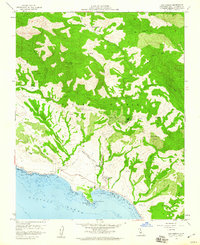
1958 · San Simeon
USGS Topo · 1:24,000