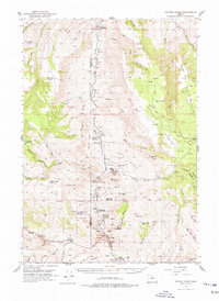
1953 Map of Picture Gorge
USGS Topo · Published 1977About this map
John Day River carves through the center of this high-desert landscape on the border of Wheeler and Grant counties. The area is dominated by the geological preserves of John Day Fossil Beds State Park, including the prominent Turtle Cove and Goose Rock. Human activity is marked by a network of cattle and sheep ranches along the river breaks, such as the Cant Ranch and Mascall Ranch.
Find a feature on this map
85 named features on this map. Tap any name to fly to it.
Don’t see what you’re looking for? This feature index may not catch every label — zoom into the map to look around manually.
Map Details
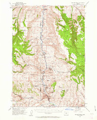
Editions of this 1953 Picture Gorge Map
3 editions found
Other maps of this area

1932 · Dayville
USGS Topo · 1:125,000

1936 · Dayville
USGS Topo · 1:125,000

1940 · Aldrich Mtn.
USGS Topo · 1:62,500

1943 · Aldrich Mtn.
USGS Topo · 1:62,500

1951 · Courtrock
USGS Topo · 1:62,500

1951 · Monument
USGS Topo · 1:62,500

1953 · Richmond
USGS Topo · 1:62,500

1953 · Kimberly
USGS Topo · 1:62,500

1953 · Picture
USGS Topo · 1:62,500

1953 · Spray
USGS Topo · 1:62,500