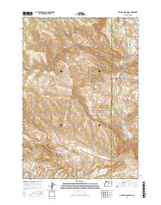
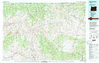
2017 Map of Picture Gorge West
USGS Topo · Published 2017About this map
John Day Fossil Beds National Monument anchors the eastern edge of this landscape, where the John Day River carves a path through the volcanic stratigraphy. The namesake Picture Gorge serves as a narrow passage for the river just south of Sheep Rock, highlighting the complex geology that has made this region a focal point for paleontological study. The terrain is defined by a series of high ridges and basins, including Jerrys Ridge, Artman Basin, and Butler Basin.
Find a feature on this map
33 named features on this map. Tap any name to fly to it.
Don’t see what you’re looking for? This feature index may not catch every label — zoom into the map to look around manually.
Map Details
Editions of this 2017 Picture Gorge West Map
This is the sole edition of this map. No revisions or reprints were ever made.
Other maps of this area
1932 · Dayville
USGS Topo · 1:125,000
1936 · Dayville
USGS Topo · 1:125,000
1953 · Richmond
USGS Topo · 1:62,500
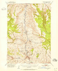
1953 · Picture
USGS Topo · 1:62,500

1955 · Canyon City
USGS Topo · 1:250,000

1959 · Canyon City
USGS Topo · 1:250,000
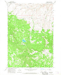
1966 · Antone
USGS Topo · 1:24,000
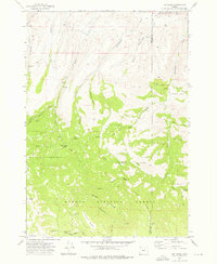
1972 · Day Basin
USGS Topo · 1:24,000
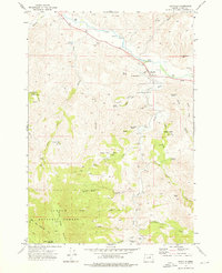
1972 · Dayville
USGS Topo · 1:24,000
1980 · Monument
USGS Topo · 1:100,000