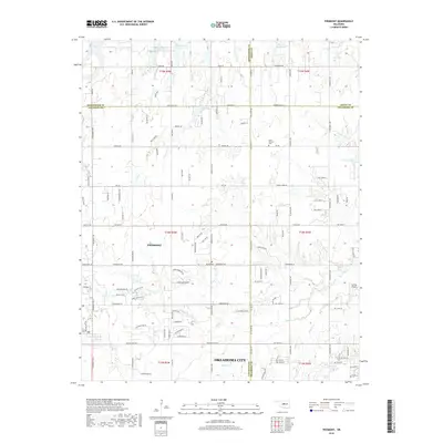
2018 Map of Piedmont
USGS Topo · Published 2018About this map
Piedmont sits at the heart of this landscape, where the agricultural plains of Canadian and Kingfisher counties meet the expanding reach of Oklahoma City. The map reveals a transition from traditional rural patterns to modern residential developments, marked by an intricate grid of roads like Edmond Rd NE and Washington Ave E. Local history is anchored by Saint Patricks Cem and Kansas Cem, while the terrain is defined by the drainage of Wolf Cr and Deer Cr. To the northeast, the rural character is reinforced by landmarks such as Johnson Lake and Bloody Rush Cr. The presence of Caribou Airport and the complex of reservoirs, including Cottonwood Cr Site 19 Reservoir, reflects the area's evolving infrastructure and water management needs as the suburban frontier continues to push westward.
Find a feature on this map
77 named features on this map. Tap any name to fly to it.
Don’t see what you’re looking for? This feature index may not catch every label — zoom into the map to look around manually.
Map Details
Editions of this 2018 Piedmont Map
This is the sole edition of this map. No revisions or reprints were ever made.
Other maps of this area

1892 · Kingfisher
USGS Topo · 1:125,000

1895 · Kingfisher
USGS Topo · 1:125,000

1951 · Britton
USGS Topo · 1:24,000

1954 · Oklahoma City
USGS Topo · 1:250,000

1957 · Oklahoma City
USGS Topo · 1:250,000

1963 · Oklahoma City
USGS Topo · 1:250,000
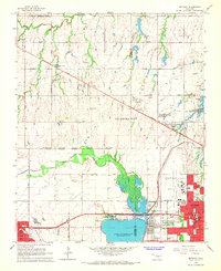
1966 · Bethany
USGS Topo · 1:24,000
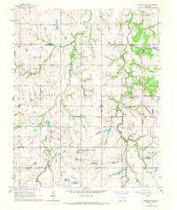
1966 · Bethany NE
USGS Topo · 1:24,000

1966 · Piedmont
USGS Topo · 1:24,000
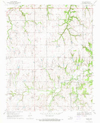
1970 · Navina
USGS Topo · 1:24,000
Featured Places
- Oklahoma City, OK
- Piedmont, OK
- Sportsman's Lake Estates I, OK
- Sportsman's Lake Estates II, OK
- Oklahoma County, OK