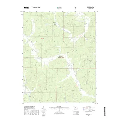
2017 Map of Piedmont SE
USGS Topo · Published 2017About this map
Granite Bend and the surrounding reaches of the Mark Twain National Forest define this 2017 study of the Missouri Ozarks. The landscape is carved by numerous drainages, including Otter Cr, Eads Cr, and Williams Cr, which flow through heavily timbered ridges like Blackwell Ridge. Genealogists will find a high density of rural burial sites, including Meadors Cem in Meador Valley and the Gentry Cem near Handy Hollow. The map highlights a remote settlement pattern where small communities and family landmarks like Childs Hollow and Pleasant Valley are linked by a network of forest roads and state routes. This survey reflects the persistence of traditional land names within protected federal forest boundaries in Wayne County.
Find a feature on this map
64 named features on this map. Tap any name to fly to it.
Don’t see what you’re looking for? This feature index may not catch every label — zoom into the map to look around manually.
Map Details
Editions of this 2017 Piedmont SE Map
This is the sole edition of this map. No revisions or reprints were ever made.
Other maps of this area
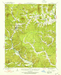
1932 · Piedmont
USGS Topo · 1:62,500
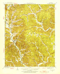
1934 · Greenville
USGS Topo · 1:62,500
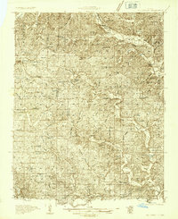
1934 · Williamsville
USGS Topo · 1:48,000
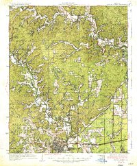
1935 · Poplar Bluff
USGS Topo · 1:62,500
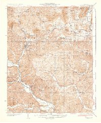
1935 · Piedmont
USGS Topo · 1:62,500
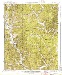
1939 · Greenville
USGS Topo · 1:62,500
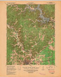
1939 · Poplar Bluff
USGS Topo · 1:62,500
1940 · Williamsville
USGS Topo · 1:62,500
1949 · Rolla
USGS Topo · 1:250,000
1949 · Poplar Bluff
USGS Topo · 1:62,500