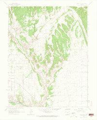
1963 Map of Pierce Gulch
USGS Topo · Published 1965About this map
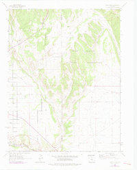
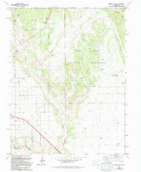
The Arkansas River serves as the dominant hydrological and industrial corridor in this early 1960s survey of the Fremont and Pueblo county border. Following the northern bank of the river, the Denver and Rio Grande Western railroad corridor underscores the importance of this valley for regional transportation and commerce. The landscape north of the river is defined by a complex network of drainages including Pierce Gulch, Green Gulch, and Red Creek, which carve through the high ground leading toward Booth Mountain. While the southern portion of the map shows evidence of infrastructure like a Pipeline and a Ditch, much of the northern terrain remains characterized by its natural watercourses like Beaver Creek and Booth Gulch. This map provides a look at the mid-century intersection of natural topography and the steel-and-water infrastructure that shaped this part of Colorado.
Find a feature on this map
11 named features on this map. Tap any name to fly to it.
Don’t see what you’re looking for? This feature index may not catch every label — zoom into the map to look around manually.
Map Details
Editions of this 1963 Pierce Gulch Map
6 editions found
Other maps of this area

1889 · Canon City
USGS Topo · 1:125,000

1891 · Pueblo
USGS Topo · 1:125,000

1892 · Canon City
USGS Topo · 1:125,000

1893 · Colorado Springs
USGS Topo · 1:125,000

1894 · Pikes Peak
USGS Topo · 1:125,000

1894 · Pueblo
USGS Topo · 1:125,000

1896 · Pueblo
USGS Topo · 1:125,000

1897 · Pueblo
USGS Topo · 1:125,000

1901 · Pikes Peak
USGS Topo · 1:125,000

1909 · Colorado Springs
USGS Topo · 1:125,000