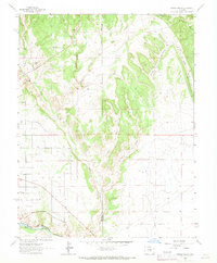
1963 Map of Pierce Gulch
USGS Topo · Published 1969About this map
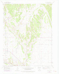
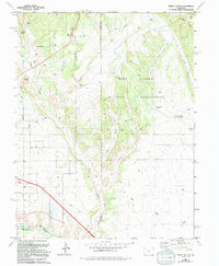
The Arkansas River corridor serves as the primary artery for transport and irrigation in this high-desert landscape of Fremont and Pueblo Counties. Along the southern edge, the Denver and Rio Grande Western railroad follows the river's bend, while the nearby Park Ditch illustrates the early engineering efforts required to divert water into the surrounding terrain.
Find a feature on this map
12 named features on this map. Tap any name to fly to it.
Don’t see what you’re looking for? This feature index may not catch every label — zoom into the map to look around manually.
Map Details
Editions of this 1963 Pierce Gulch Map
6 editions found
Other maps of this area

1889 · Canon City
USGS Topo · 1:125,000

1891 · Pueblo
USGS Topo · 1:125,000

1892 · Canon City
USGS Topo · 1:125,000

1893 · Colorado Springs
USGS Topo · 1:125,000

1894 · Pikes Peak
USGS Topo · 1:125,000

1894 · Pueblo
USGS Topo · 1:125,000

1896 · Pueblo
USGS Topo · 1:125,000

1897 · Pueblo
USGS Topo · 1:125,000

1901 · Pikes Peak
USGS Topo · 1:125,000

1909 · Colorado Springs
USGS Topo · 1:125,000