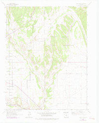
1963 Map of Pierce Gulch
USGS Topo · Published 1978About this map
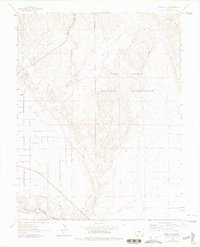
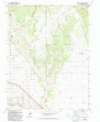
The Fort Carson Military Reservation dominates the northern half of this Fremont County landscape, where the rugged drainages of Pierce Gulch and Green Gulch converge as they move toward the valley floor. In the southwest corner, the Arkansas River serves as the primary corridor for regional transport, followed closely by the tracks of the Denver and Rio Grande Western railroad. This 1963 survey, with photorevisions from 1974, captures the infrastructure supporting the arid high desert, including an Aqueduct and Pipeline systems that traverse the varied terrain. Irrigation and water management are evident through the Beaver Park Ditch, which skirts the edge of the canyonlands. The map reveals the stark boundary line between Fremont and Pueblo counties, crossing over the high point of Booth Mountain in the northeast and extending down through the drainage of Beaver Creek.
Find a feature on this map
15 named features on this map. Tap any name to fly to it.
Don’t see what you’re looking for? This feature index may not catch every label — zoom into the map to look around manually.
Map Details
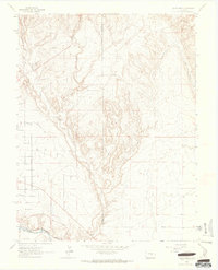
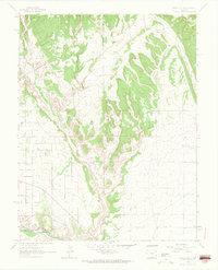
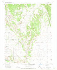
Editions of this 1963 Pierce Gulch Map
6 editions found
Other maps of this area

1889 · Canon City
USGS Topo · 1:125,000

1891 · Pueblo
USGS Topo · 1:125,000

1892 · Canon City
USGS Topo · 1:125,000

1893 · Colorado Springs
USGS Topo · 1:125,000

1894 · Pikes Peak
USGS Topo · 1:125,000

1894 · Pueblo
USGS Topo · 1:125,000

1896 · Pueblo
USGS Topo · 1:125,000

1897 · Pueblo
USGS Topo · 1:125,000

1901 · Pikes Peak
USGS Topo · 1:125,000

1909 · Colorado Springs
USGS Topo · 1:125,000