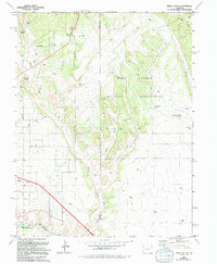
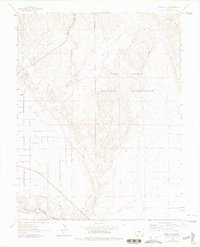
1963 Map of Pierce Gulch
USGS Topo · Published 1994About this map
Fort Carson Military Reservation dominates the eastern portion of this landscape, where the terrain is carved by a complex drainage system including Pierce Gulch, Green Gulch, and Booth Gulch. This 1960s field-checked environment reveals a sharp contrast between the controlled military lands and the agricultural or industrial activity to the west. Near the southern edge, the Arkansas River flows through the valley, flanked by the small settlement of Concrete and several Gravel Pits.
Find a feature on this map
17 named features on this map. Tap any name to fly to it.
Don’t see what you’re looking for? This feature index may not catch every label — zoom into the map to look around manually.
Map Details
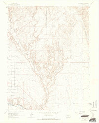
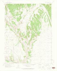
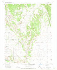
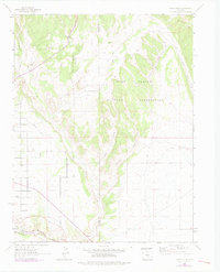
Editions of this 1963 Pierce Gulch Map
6 editions found
Other maps of this area

1889 · Canon City
USGS Topo · 1:125,000

1891 · Pueblo
USGS Topo · 1:125,000

1892 · Canon City
USGS Topo · 1:125,000

1893 · Colorado Springs
USGS Topo · 1:125,000

1894 · Pikes Peak
USGS Topo · 1:125,000

1894 · Pueblo
USGS Topo · 1:125,000

1896 · Pueblo
USGS Topo · 1:125,000

1897 · Pueblo
USGS Topo · 1:125,000

1901 · Pikes Peak
USGS Topo · 1:125,000

1909 · Colorado Springs
USGS Topo · 1:125,000