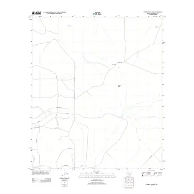
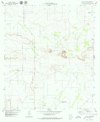
2012 Map of Pierce Ranch
USGS Topo · Published 2012About this map
Pierce Ranch occupies a central role in this landscape of Hudspeth County, situated near the prominent landmark of Round Mtn. The infrastructure of the area reflects the arid Texas climate, defined by essential water catchment features such as Fortythree Tank, Morris Tank, and Horton Tank. These tanks, often associated with ranching operations, are scattered across a network of roads that includes Ranch Road 1111 and the uniquely named Application Loop. The intersection of Livermore and The Blvd suggests a planned but sparse development pattern characteristic of high-desert ranchland. Smaller routes like Rabbit Rd and Secret Rd reach out toward the horizons, while Ramsey Tank sits tucked away near the western edge of the survey area, emphasizing the reliance on localized water management for both livestock and land use.
Find a feature on this map
18 named features on this map. Tap any name to fly to it.
Don’t see what you’re looking for? This feature index may not catch every label — zoom into the map to look around manually.
Map Details
Editions of this 2012 Pierce Ranch Map
This is the sole edition of this map. No revisions or reprints were ever made.
Other maps of this area
1895 · Sierra Blanca
USGS Topo · 1:125,000
1948 · Triple Hill
USGS Topo · 1:62,500

1954 · Van Horn
USGS Topo · 1:250,000

1958 · Van Horn
USGS Topo · 1:250,000
1964 · Dome Peak
USGS Topo · 1:24,000
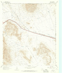
1964 · Lasca
USGS Topo · 1:24,000
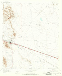
1964 · Sierra Blanca
USGS Topo · 1:24,000
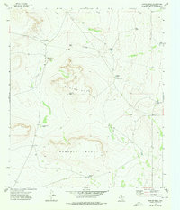
1973 · Norton Mesa
USGS Topo · 1:24,000
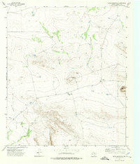
1973 · Movie Mountain
USGS Topo · 1:24,000
1979 · Pierce Ranch
USGS Topo · 1:24,000