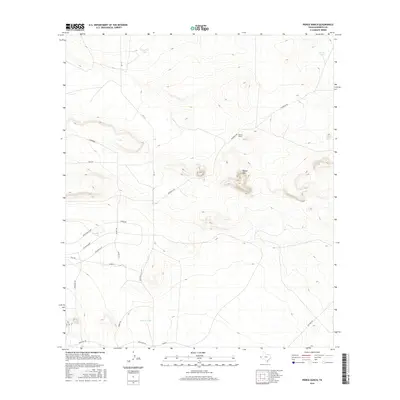
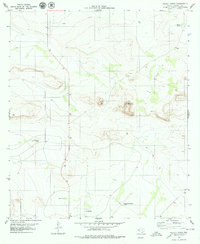
2016 Map of Pierce Ranch
USGS Topo · Published 2016About this map
Pierce Ranch and its surrounding high-desert terrain in Hudspeth County are defined by a network of ranch roads and essential water catchments. The landscape is punctuated by Round Mtn and structured by water management features such as Fortythree Tank, Morris Tank, and Horton Tank, which provide critical infrastructure for livestock in this arid environment. A distinct concentration of named thoroughfares including The Boulevard, Application Rd, and Tech Dr suggests localized development or specialized access patterns within the larger ranching territory. These roads connect to more established routes like FM 1111 and Frederick Rd, illustrating how modern transportation corridors navigate the elevations of the Trans-Pecos region. The presence of Livermore and Mesa Rd further highlights the intersection of geographic landmarks and the human imprint on this remote Texas expanse.
Find a feature on this map
23 named features on this map. Tap any name to fly to it.
Don’t see what you’re looking for? This feature index may not catch every label — zoom into the map to look around manually.
Map Details
Editions of this 2016 Pierce Ranch Map
This is the sole edition of this map. No revisions or reprints were ever made.
Other maps of this area
1895 · Sierra Blanca
USGS Topo · 1:125,000
1948 · Triple Hill
USGS Topo · 1:62,500

1954 · Van Horn
USGS Topo · 1:250,000

1958 · Van Horn
USGS Topo · 1:250,000
1964 · Dome Peak
USGS Topo · 1:24,000
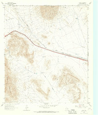
1964 · Lasca
USGS Topo · 1:24,000
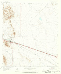
1964 · Sierra Blanca
USGS Topo · 1:24,000
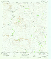
1973 · Norton Mesa
USGS Topo · 1:24,000
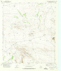
1973 · Movie Mountain
USGS Topo · 1:24,000
1979 · Pierce Ranch
USGS Topo · 1:24,000