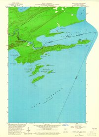
1959 Map of Pigeon Point
USGS Topo · Published 1965About this map
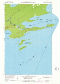
Pigeon Point extends as a narrow, prominent finger of land into the northern waters of Lake Superior, marking the remote international border between Minnesota and Ontario. The landscape is dominated by the powerful Pigeon River, which carves through the terrain via Middle Falls and Pigeon Falls before entering Pigeon Bay. This late 1950s survey documents a transitional period for the area, showing the International Highway under construction near the river. A scattered archipelago of islands, including Susie Island, Lucille Island, and Magnet Island, buffers Wauswaugoning Bay from the open lake. Historical resource extraction is evidenced by a Mine located on the northern shore of Susie Island, while maritime hazards are hinted at by names like The Hole in the Wall and The Narrows at the eastern tip of the peninsula.
Find a feature on this map
34 named features on this map. Tap any name to fly to it.
Don’t see what you’re looking for? This feature index may not catch every label — zoom into the map to look around manually.
Map Details
Editions of this 1959 Pigeon Point Map
3 editions found
Other maps of this area

1958 · Hancock
USGS Topo · 1:250,000
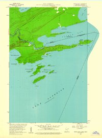
1959 · Pigeon Point
USGS Topo · 1:24,000

1959 · Fort William
USGS Topo · 1:250,000
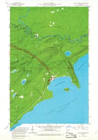
1959 · Grand Portage
USGS Topo · 1:24,000

1960 · Hancock
USGS Topo · 1:250,000

1961 · Hancock
USGS Topo · 1:250,000

1966 · Hancock
USGS Topo · 1:250,000

1968 · Fort William
USGS Topo · 1:250,000

1985 · Pigeon Point
USGS Topo · 1:100,000

1985 · Grand Portage
USGS Topo · 1:100,000