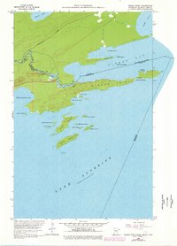
1959 Map of Pigeon Point
USGS Topo · Published 1978About this map
Pigeon Point reaches deep into Lake Superior in this late-1950s study of the borderlands between Minnesota and Ontario. The northern edge of the map is defined by the Pigeon River, where dramatic landmarks like Pigeon Falls and Middle Falls mark the rugged descent toward the Great Lakes. A primary Port of Entry stands at the terminus of the International Highway, serving as a critical crossing point for travelers and trade between the Canada United States border.
Find a feature on this map
33 named features on this map. Tap any name to fly to it.
Don’t see what you’re looking for? This feature index may not catch every label — zoom into the map to look around manually.
Map Details
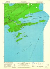
Editions of this 1959 Pigeon Point Map
3 editions found
Other maps of this area

1958 · Hancock
USGS Topo · 1:250,000
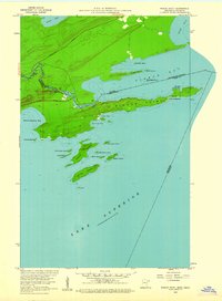
1959 · Pigeon Point
USGS Topo · 1:24,000

1959 · Fort William
USGS Topo · 1:250,000
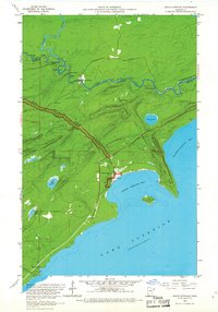
1959 · Grand Portage
USGS Topo · 1:24,000

1960 · Hancock
USGS Topo · 1:250,000

1961 · Hancock
USGS Topo · 1:250,000

1966 · Hancock
USGS Topo · 1:250,000

1968 · Fort William
USGS Topo · 1:250,000

1985 · Pigeon Point
USGS Topo · 1:100,000

1985 · Grand Portage
USGS Topo · 1:100,000