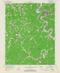
1954 Map of Pikeville
USGS Topo · Published 1967About this map
Levisa Fork carves a deep, winding path through the coal-rich landscape of Pike County, where the growing center of Pikeville serves as a vital hub for transportation and healthcare at Memorial Hospital. The settlement pattern follows the narrow valleys and creek beds, with small communities like Mayo Village and Kewanee hugging the riverbanks. The industrial significance of the region is evident in the presence of the Chesapeake And Ohio and Norfolk And Western railroads, which facilitated the movement of coal from local mines and sidings like Titan Siding.
Find a feature on this map
91 named features on this map. Tap any name to fly to it.
Don’t see what you’re looking for? This feature index may not catch every label — zoom into the map to look around manually.
Map Details
Editions of this 1954 Pikeville Map
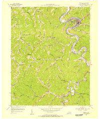
2 editions found
Other maps of this area

1886 · Prestonsburg
USGS Topo · 1:125,000

1886 · Grundy
USGS Topo · 1:125,000

1887 · Warfield
USGS Topo · 1:125,000

1890 · Whitesburg
USGS Topo · 1:125,000

1890 · Grundy
USGS Topo · 1:125,000

1891 · Warfield
USGS Topo · 1:125,000

1892 · Grundy
USGS Topo · 1:125,000

1892 · Whitesburg
USGS Topo · 1:125,000

1892 · Prestonsburg
USGS Topo · 1:125,000

1914 · Laynesville
USGS Topo · 1:48,000