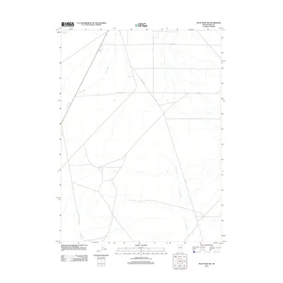
2012 Map of Pilot Peak NW
USGS Topo · Published 2012About this map
Loray Wash and Immigrant Creek trace the drainage patterns of this high desert basin in Elko County, where the landscape is defined by its seasonal watercourses and a minimalist network of utilitarian roads. This 2012 survey by the U.S. Geological Survey shows a sparsely populated area where human presence is marked by routes such as Old Motel Rd and Church Rd, suggesting a legacy of rural transit and local waypoints. The southeastern portion of the quadrangle is dominated by the meandering path of Pilot Creek, which parallels Pilot Rd as it flows across the arid flats. This cartographic study illustrates the isolation and topographic character of the Great Basin, capturing the simple infrastructure of Straight Rd and Burro Rd before any further development could alter these traditional desert corridors.
Find a feature on this map
8 named features on this map. Tap any name to fly to it.
Don’t see what you’re looking for? This feature index may not catch every label — zoom into the map to look around manually.
Map Details
Editions of this 2012 Pilot Peak NW Map
This is the sole edition of this map. No revisions or reprints were ever made.
Other maps of this area

1955 · Wells
USGS Topo · 1:250,000

1958 · Wells
USGS Topo · 1:250,000

1961 · Wells
USGS Topo · 1:250,000

1967 · Pilot Peak
USGS Topo · 1:24,000

1967 · Loray
USGS Topo · 1:24,000

1967 · Montello Canyon
USGS Topo · 1:24,000

1967 · Patterson Pass
USGS Topo · 1:24,000

1967 · Montello
USGS Topo · 1:24,000
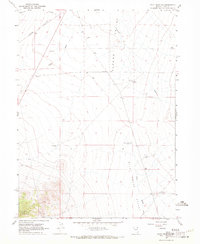
1967 · Pilot Peak NW
USGS Topo · 1:24,000
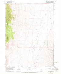
1967 · Pilot Peak SW
USGS Topo · 1:24,000