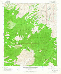
1964 Map of Pinal Peak
USGS Topo · Published 1965About this map
Signal Peak Lookout Tower stands as a prominent sentinel over the Pinal Mountains in this mid-1960s survey of central Arizona. The high-altitude landscape is characterized by its communication and fire-watch infrastructure, including the Pinal Peak Radio Tower and multiple recreational sites like the Upper Pinal Recreation Area and Kellner Campground. The map reveals a transition from these wooded heights to the lower basins, where the Southwest Archeological Center (Gila Pueblo) represents the region's cultural heritage.
Find a feature on this map
100 named features on this map. Tap any name to fly to it.
Don’t see what you’re looking for? This feature index may not catch every label — zoom into the map to look around manually.
Map Details
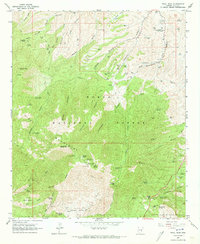
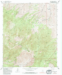
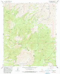
Editions of this 1964 Pinal Peak Map
4 editions found
Other maps of this area

1901 · Globe
USGS Topo · 1:62,500

1902 · Globe
USGS Topo · 1:62,500

1910 · Ray
USGS Topo · 1:62,500

1915 · Christmas
USGS Topo · 1:62,500

1917 · Christmas
USGS Topo · 1:62,500

1945 · Globe
USGS Topo · 1:24,000

1945 · Inspiration
USGS Topo · 1:24,000

1947 · Inspiration
USGS Topo · 1:24,000

1948 · Pinal Ranch
USGS Topo · 1:24,000

1949 · Pinal Ranch
USGS Topo · 1:24,000