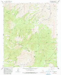
1964 Map of Pinal Peak
USGS Topo · Published 1991About this map
The Pinal Mountains dominate this 1964 survey, rising toward the prominent summits of Pinal Peak and Signal Peak. Within the high-altitude terrain of the Tonto National Forest, the map documents a transition from the cultural heritage sites of the north to the industrial mining and recreation areas of the southern slopes. A notable landmark is the Southwest Archeological Center (Gila Pueblo) situated near the mouth of Sixshooter Canyon. The landscape is etched with complex drainage systems including Icehouse Canyon and Kellner Canyon, which provided access for early prospectors and ranchers. Evidence of these early activities remains visible through sites like the Azurite Mine, Harvey Mine, and the 66 Ranch. Water management is a primary feature of the region's development, illustrated by an extensive network of named livestock and spring tanks such as Solitude Gulch Tank and Hayes Tank, essential for sustaining the ranching operations and recreation sites like Kellner Campground in this arid environment.
Find a feature on this map
104 named features on this map. Tap any name to fly to it.
Don’t see what you’re looking for? This feature index may not catch every label — zoom into the map to look around manually.
Map Details
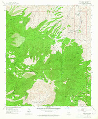
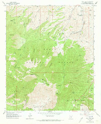
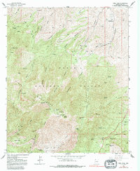
Editions of this 1964 Pinal Peak Map
4 editions found
Other maps of this area

1901 · Globe
USGS Topo · 1:62,500

1902 · Globe
USGS Topo · 1:62,500

1910 · Ray
USGS Topo · 1:62,500

1915 · Christmas
USGS Topo · 1:62,500

1917 · Christmas
USGS Topo · 1:62,500

1945 · Globe
USGS Topo · 1:24,000

1945 · Inspiration
USGS Topo · 1:24,000

1947 · Inspiration
USGS Topo · 1:24,000

1948 · Pinal Ranch
USGS Topo · 1:24,000

1949 · Pinal Ranch
USGS Topo · 1:24,000