
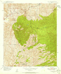
1948 Map of Pinal Ranch
USGS Topo · Published 1948About this map
Crook National Forest dominates this mid-century topography, where the high desert terrain is punctuated by a network of historic cattle operations and mining claims. Settled ranching life is well-documented through numerous family-named homesteads including Schultze Ranch, Clark Ranch, and Sixty Six Ranch. The map identifies the Bellevue (Old Site) north of Hutton Pk, marking the location of an earlier settlement near the copper-rich districts of the Pinal Mountains.
Find a feature on this map
48 named features on this map. Tap any name to fly to it.
Don’t see what you’re looking for? This feature index may not catch every label — zoom into the map to look around manually.
Map Details
Editions of this 1948 Pinal Ranch Map
3 editions found
Other maps of this area

1900 · Florence
USGS Topo · 1:125,000

1901 · Globe
USGS Topo · 1:62,500

1902 · Globe
USGS Topo · 1:62,500

1902 · Florence
USGS Topo · 1:125,000

1910 · Ray
USGS Topo · 1:62,500

1945 · Globe
USGS Topo · 1:24,000

1945 · Inspiration
USGS Topo · 1:24,000

1947 · Inspiration
USGS Topo · 1:24,000

1948 · Superior
USGS Topo · 1:62,500

1948 · Superior
USGS Topo · 1:24,000