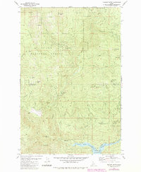
1981 Map of Pinchot Butte
USGS Topo · Published 1984About this map
St Joe National Forest lands dominate this mountain landscape at the boundary of Shoshone and Clearwater counties. The drainage of Floodwood Creek and the Little North Fork Clearwater River define the topography, where isolated locations such as Mary Mix Cabin (Site) and Last Inch Camp hint at the area's human history of forestry and early settlement. The southern portion of the map shows the influence of water management with the Dworshak Reservoir and a Gaging Station located near Breakfast Creek. Elevated points like Pinchot Butte and Trapper Peak offer distinct landmarks above a network of four-wheel-drive trails. The presence of Hershey Bar and New Boehls provide specific points of interest for those tracing local history and land use in this timber-rich region of Northern Idaho.
Find a feature on this map
39 named features on this map. Tap any name to fly to it.
Don’t see what you’re looking for? This feature index may not catch every label — zoom into the map to look around manually.
Map Details
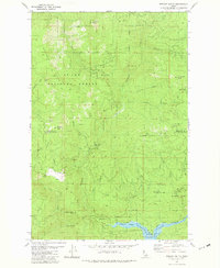
Editions of this 1981 Pinchot Butte Map
2 editions found
Other maps of this area

1914 · Avery
USGS Topo · 1:125,000

1917 · Avery
USGS Topo · 1:125,000

1923 · Washington Creek
USGS Topo · 1:125,000

1936 · Boehls Butte
USGS Topo · 1:48,000

1943 · Boehls Butte
USGS Topo · 1:62,500

1955 · Pullman
USGS Topo · 1:250,000

1955 · Spokane
USGS Topo · 1:250,000

1956 · Wallace
USGS Topo · 1:250,000

1956 · Hamilton
USGS Topo · 1:250,000

1958 · Spokane
USGS Topo · 1:250,000