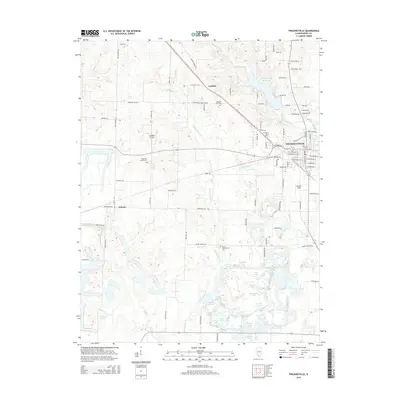
2015 Map of Pinckneyville
USGS Topo · Published 2015About this map
Pinckneyville serves as the focal point for this survey of south-central Illinois, where the developed streets of the city transition into a complex landscape of water and woodland. To the north, the Pinckneyville Reservoir and its surrounding residential lanes like Phlox Rd and Wood Duck Rd highlight the area's modern recreational character. Further west, the terrain is defined by the winding course of Little Galum Creek and a dense concentration of named water bodies, including Wesseln Cut, Plum Lake, and Chain Lakes.
Find a feature on this map
115 named features on this map. Tap any name to fly to it.
Don’t see what you’re looking for? This feature index may not catch every label — zoom into the map to look around manually.
Map Details
Editions of this 2015 Pinckneyville Map
This is the sole edition of this map. No revisions or reprints were ever made.
Other maps of this area

1910 · Murphysboro
USGS Topo · 1:62,500

1914 · Coulterville
USGS Topo · 1:62,500

1916 · Campbell Hill
USGS Topo · 1:62,500

1917 · Coulterville
USGS Topo · 1:62,500

1918 · Campbell Hill
USGS Topo · 1:62,500

1924 · Pinckneyville
USGS Topo · 1:62,500

1926 · Pinckneyville
USGS Topo · 1:62,500

1938 · Murphysboro
USGS Topo · 1:62,500

1949 · Paducah
USGS Topo · 1:250,000

1950 · Paducah
USGS Topo · 1:250,000