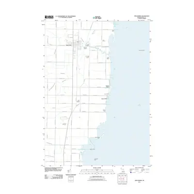
2011 Map of Pinconning
USGS Topo · Published 2011About this map
Pinconning serves as the inland anchor for this coastal survey of Bay County, where the Michigan shoreline meets the expansive waters of Saginaw Bay. The landscape is defined by an intricate network of drainage systems such as the Johnson Drain, Willette Drain, and Gregory Drain, reflecting the engineering required to manage the low-lying terrain near Lake Huron. Along the coast, small beach communities including Almeda Beach, Nu-Crest Beach, and Meyers Beach line the shore, supported by maritime infrastructure like the Wharf Marina and Jerry Genows Marina.
Find a feature on this map
66 named features on this map. Tap any name to fly to it.
Don’t see what you’re looking for? This feature index may not catch every label — zoom into the map to look around manually.
Map Details
Editions of this 2011 Pinconning Map
This is the sole edition of this map. No revisions or reprints were ever made.
Other maps of this area

1916 · Bay City
USGS Topo · 1:62,500

1919 · Bay City
USGS Topo · 1:62,500

1943 · Bay City
USGS Topo · 1:62,500

1954 · Midland
USGS Topo · 1:250,000

1954 · Flint
USGS Topo · 1:250,000

1958 · Flint
USGS Topo · 1:250,000

1958 · Midland
USGS Topo · 1:250,000

1959 · Midland
USGS Topo · 1:250,000

1962 · Willard
USGS Topo · 1:24,000

1966 · Midland
USGS Topo · 1:250,000