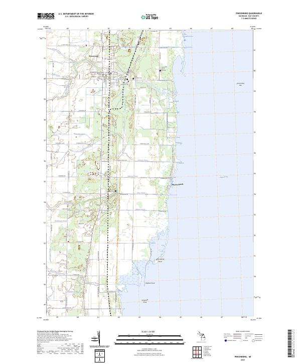
2023 Map of Pinconning
USGS Topo · Published 2023About this map
Pinconning serves as the focal point of this coastal survey, where the terrestrial landscape meets the expansive Saginaw Bay. The area's cultural history is marked by several significant sites, including the Old Indian Burial Ground and several local cemeteries such as Pinconning Township Cem and Saint Michaels Cem. Transport and drainage dominate the inland character, with the Lake State Railway running north-south through the settlement. A complex network of managed waterways, including Fanger Drain, Walk Drain, and Michalski Drain, illustrates the extensive efforts to manage the low-lying terrain for agricultural or residential use. Along the shoreline, geographic features like Nayanquing Point, Mallard Point, and Meyers Beach define the transition between the mainland and the bay, while the Pinconning River winds through the heart of the township.
Find a feature on this map
105 named features on this map. Tap any name to fly to it.
Don’t see what you’re looking for? This feature index may not catch every label — zoom into the map to look around manually.
Map Details
Editions of this 2023 Pinconning Map
This is the sole edition of this map. No revisions or reprints were ever made.
Other maps of this area

1916 · Bay City
USGS Topo · 1:62,500

1919 · Bay City
USGS Topo · 1:62,500

1943 · Bay City
USGS Topo · 1:62,500

1954 · Midland
USGS Topo · 1:250,000

1954 · Flint
USGS Topo · 1:250,000

1958 · Flint
USGS Topo · 1:250,000

1958 · Midland
USGS Topo · 1:250,000

1959 · Midland
USGS Topo · 1:250,000

1962 · Willard
USGS Topo · 1:24,000

1966 · Midland
USGS Topo · 1:250,000