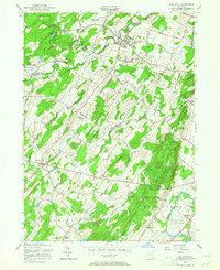
1956 Map of Pine Bush
USGS Topo · Published 1965About this map
The Shawangunk Mountains rise along the northwestern edge of this landscape, giving way to a network of kills and agrarian settlements. Farming and local commerce are evident in the concentration of hamlets like Pine Bush and Bullville, connected by a web of rural routes such as New Prospect Road and Searsville Road. The mid-1950s landscape shows a community built around traditional landmarks, including Our Lady of the Valley Ch and St Pauls Ch. Transport and infrastructure are defined by the Erie RR corridor and the Montgomery Airport near the Wallkill River. Numerous smaller family-named crossroads like Van Keuren and Thompson Ridge illustrate the historical settlement patterns of the Crawford and Montgomery townships before modern suburbanization altered the rural character of the region.
Find a feature on this map
52 named features on this map. Tap any name to fly to it.
Don’t see what you’re looking for? This feature index may not catch every label — zoom into the map to look around manually.
Map Details
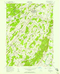
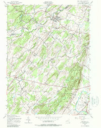
Editions of this 1956 Pine Bush Map
Other maps of this area

1902 · Schunemunk
USGS Topo · 1:62,500

1903 · Newburg
USGS Topo · 1:62,500

1904 · Ellenville
USGS Topo · 1:62,500

1906 · Ellenville
USGS Topo · 1:62,500

1906 · Goshen
USGS Topo · 1:62,500

1908 · Goshen
USGS Topo · 1:62,500

1930 · Schunemunk
USGS Topo · 1:48,000

1935 · Schunemunk
USGS Topo · 1:62,500

1938 · Goshen
USGS Topo · 1:62,500

1942 · Goshen
USGS Topo · 1:24,000