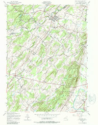
1956 Map of Pine Bush
USGS Topo · Published 1988About this map
The Shawangunk Kill and Verkeerder Kill define this mid-century landscape of the Mid-Hudson region, where the Erie RR cuts a diagonal path through agricultural and early residential centers. Centered on the village of Pine Bush, the area shows a transition from traditional valley farming toward more modernized infrastructure, as seen in the presence of both the Tri-State Airport and the Montgomery Airport. Cultural life is anchored by a significant network of rural institutions, including Grahams Church, St Pauls Ch, and the Brick Church Cem.
Find a feature on this map
76 named features on this map. Tap any name to fly to it.
Don’t see what you’re looking for? This feature index may not catch every label — zoom into the map to look around manually.
Map Details
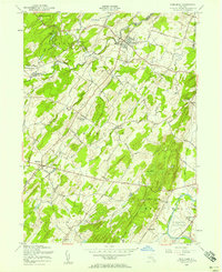
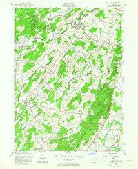
Editions of this 1956 Pine Bush Map
Other maps of this area

1902 · Schunemunk
USGS Topo · 1:62,500

1903 · Newburg
USGS Topo · 1:62,500

1904 · Ellenville
USGS Topo · 1:62,500

1906 · Ellenville
USGS Topo · 1:62,500

1906 · Goshen
USGS Topo · 1:62,500

1908 · Goshen
USGS Topo · 1:62,500

1930 · Schunemunk
USGS Topo · 1:48,000

1935 · Schunemunk
USGS Topo · 1:62,500

1938 · Goshen
USGS Topo · 1:62,500

1942 · Goshen
USGS Topo · 1:24,000