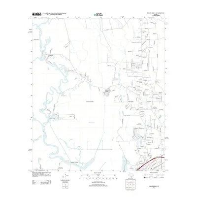
2013 Map of Pine Forest
USGS Topo · Published 2013About this map
The Neches River winds through this coastal Texas landscape, defining a network of bayous and sloughs that shape the local geography. To the east, the community of Pine Forest and the Vidor North Oil Field reflect the region's 20th-century industrial and residential expansion. The map reveals a complex water system including Tenmile Cr, Bunns Canal, and Wiess Canal, which historically supported drainage and industry in the low-lying terrain near Bunns Bluff.
Find a feature on this map
188 named features on this map. Tap any name to fly to it.
Don’t see what you’re looking for? This feature index may not catch every label — zoom into the map to look around manually.
Map Details
Editions of this 2013 Pine Forest Map
This is the sole edition of this map. No revisions or reprints were ever made.
Other maps of this area

1926 · Terry
USGS Topo · 1:24,000

1926 · Lakeview
USGS Topo · 1:24,000

1926 · Vidor
USGS Topo · 1:24,000

1926 · Texla
USGS Topo · 1:24,000

1932 · Beaumont
USGS Topo · 1:62,500

1943 · Terry
USGS Topo · 1:24,000

1943 · Texla
USGS Topo · 1:24,000

1943 · Beaumont East
USGS Topo · 1:24,000

1952 · Lake Charles
USGS Topo · 1:250,000

1954 · Lake Charles
USGS Topo · 1:250,000