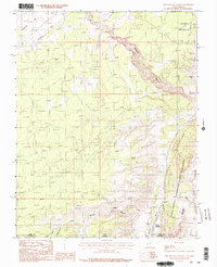
1987 Map of Pine Hollow Canyon
USGS Topo · Published 1987About this map
Paria Canyon Vermilion Cliffs Wilderness defines the southeastern reach of this high-desert landscape on the border of Utah and Arizona. This late-1980s provisional survey documents the complex drainage systems of the Paria Plateau, where Buckskin Gulch and Coyote Wash carve through the geological uplift of The Cockscomb. The map captures a moment when water management in this arid territory relied on remote catchments like Adams Reservoir and Bull Pasture Reservoirs.
Find a feature on this map
24 named features on this map. Tap any name to fly to it.
Don’t see what you’re looking for? This feature index may not catch every label — zoom into the map to look around manually.
Map Details
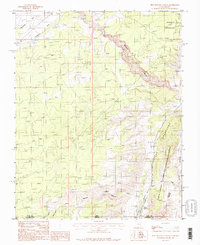
Editions of this 1987 Pine Hollow Canyon Map
2 editions found
Other maps of this area

1886 · Kanab
USGS Topo · 1:250,000

1886 · Escalante
USGS Topo · 1:250,000

1886 · Echo Cliffs
USGS Topo · 1:250,000

1886 · Kaibab
USGS Topo · 1:250,000

1891 · Echo Cliffs
USGS Topo · 1:250,000

1953 · Cedar City
USGS Topo · 1:250,000

1953 · Grand Canyon
USGS Topo · 1:250,000

1954 · Buckskin Gulch NW
USGS Topo · 1:24,000

1954 · Buckskin Gulch NE
USGS Topo · 1:24,000

1954 · Buckskin Gulch SE
USGS Topo · 1:24,000