
1959 Map of Pine Mountain
USGS Topo · Published 1961About this map
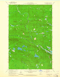
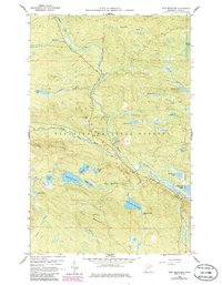
Gunflint Trail provides the primary access route through this dense wilderness corridor of the Arrowhead Region during the late 1950s. The landscape is defined by its complex hydrology, dominated by the Brule River and the South Brule River, which flow through a high-elevation landscape of deep lakes and bogs. Settlement is almost non-existent here, marked only by the Gunflint Camp and a Lookout Tower atop the local heights. The map captures a transitional administrative landscape where the Minnesota State Forest and Superior National Forest converge. Notable water bodies such as Musquash Lake, Northern Light Lake, and Pine Mountain Lake sit amidst a terrain of ridges like Pine Mountain and the curiously named Woodpile, reflecting the region's character as a timber and recreation resource before significant modern development.
Find a feature on this map
38 named features on this map. Tap any name to fly to it.
Don’t see what you’re looking for? This feature index may not catch every label — zoom into the map to look around manually.
Map Details
Editions of this 1959 Pine Mountain Map
3 editions found
Other maps of this area

1954 · Two Harbors
USGS Topo · 1:250,000

1957 · Two Harbors
USGS Topo · 1:250,000

1957 · Quetico
USGS Topo · 1:250,000

1958 · Two Harbors
USGS Topo · 1:250,000

1959 · Northern Light Lake
USGS Topo · 1:24,000

1959 · Lima Mountain
USGS Topo · 1:24,000

1959 · Hungry Jack Lake
USGS Topo · 1:24,000

1959 · Pine Lake West
USGS Topo · 1:24,000

1959 · Crocodile Lake
USGS Topo · 1:24,000

1960 · Grand Marais
USGS Topo · 1:24,000